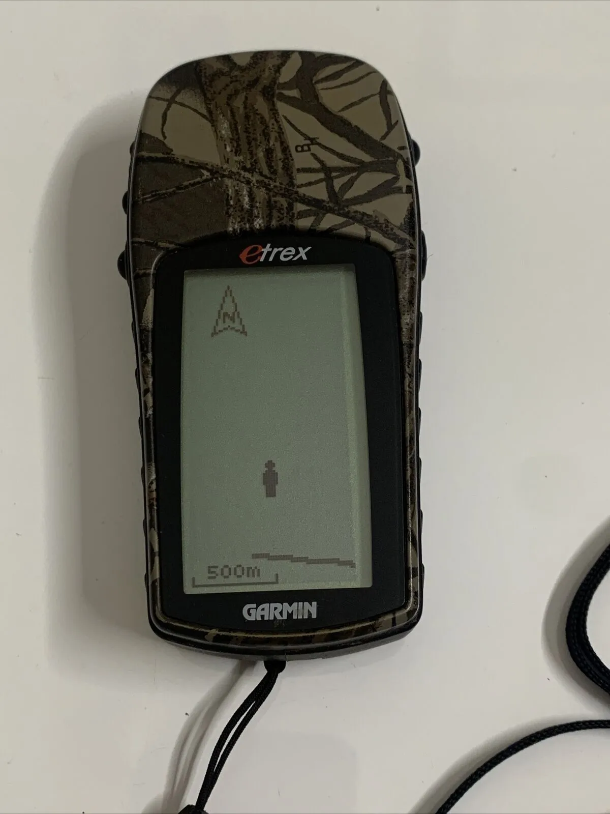
Garmin etrex Camo.
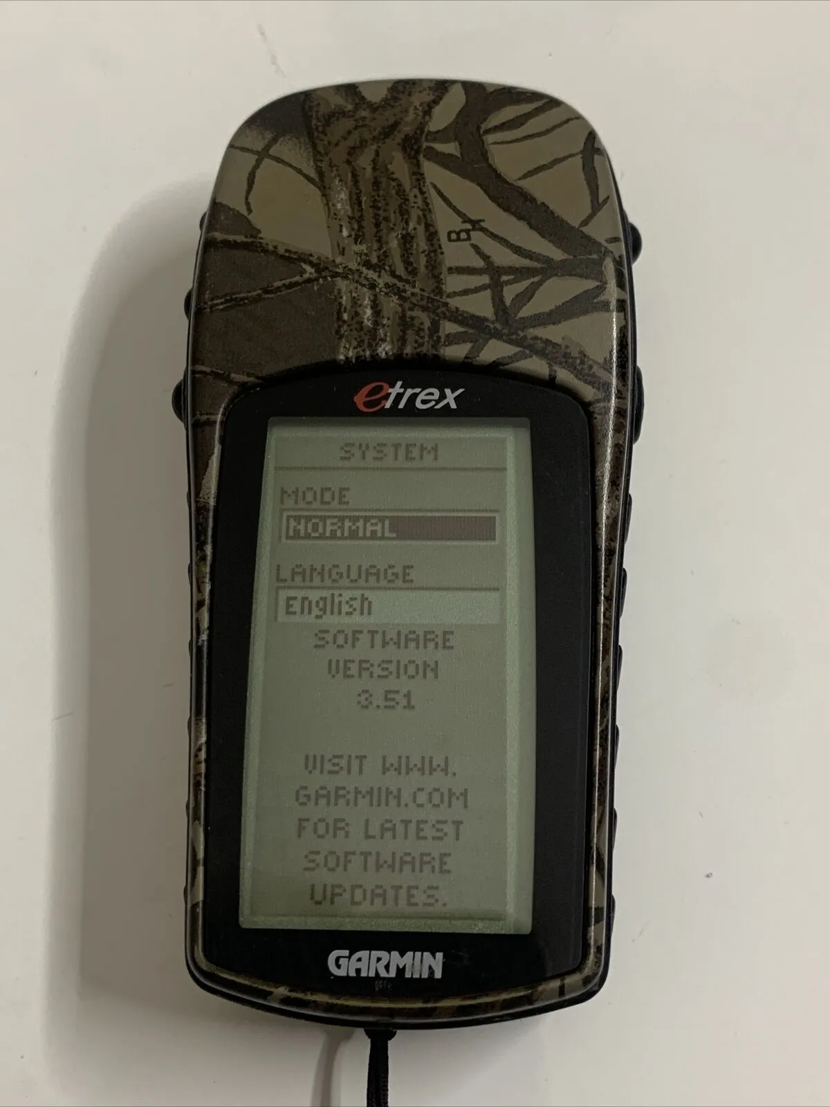
In working order.Concealed beneath the sportsman-friendly pattern is a compact, waterproof handheld GPS — among the smallest on the market. The eTrex Camo combines the intuitive, easy-to-use features and rugged design of the original eTrex, plus a camouflage pattern, into a lightweight GPS navigator that literally fits in the palm of your hand.
Built for the Outdoors
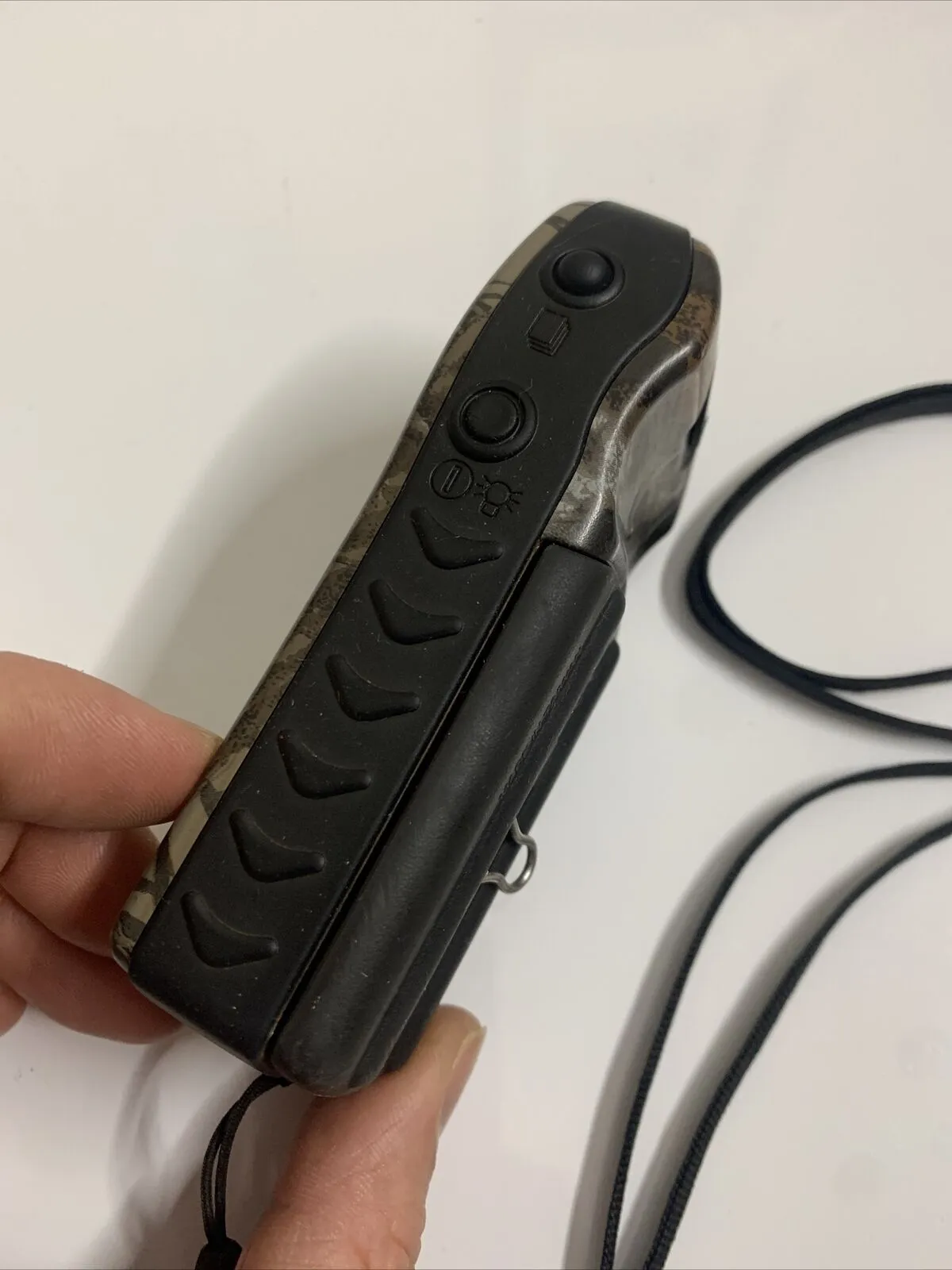
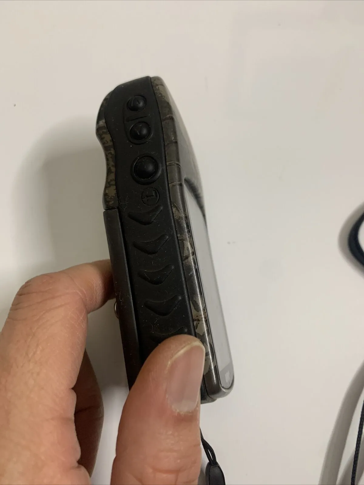
You can operate your eTrex Camo with just one hand using five buttons, located on either side of the Camo within easy reach of your fingers. Great for hunters and fishermen, eTrex Camo's camouflage pattern helps conceal you while you track your quarry. And, Camo is IPX7 waterproof, so it can take an accidental splash or dunk in the water and still continue to perform. You'll notice that eTrex's 12-parallel channel GPS receiver locks onto satellite signals quickly and maintains accuracy, even in tough conditions.
Find It and Go
With eTrex Camo, your outdoor adventure can last and last — up to 22 hours on just 2 AA batteries. While you roam, you can store up to 500 waypoints in memory for easy retrieval. Just enter the point you want to go to, and Camo points you to your destination (no street or terrain maps). To get home, use Garmin's exclusive TrackBack® feature to reverse your track log and help you navigate back to your starting point. You can also use the built-in hunting and fishing calendar to find the optimal dates and times for your next sporting excursion.
eTrex Camo: We've got sporting enthusiasts squarely in our sights
• Waypoints: Stores 500 waypoints with name and graphic symbol
• Tracks: Automatic track log saves up to 10 tracks to retrace your path in either direction
• Route: Stores 1 route with up to 50 waypoints which can be navigated in sequence
• Display resolution: 64 x 128 pixels, 3103 pixels per square inch
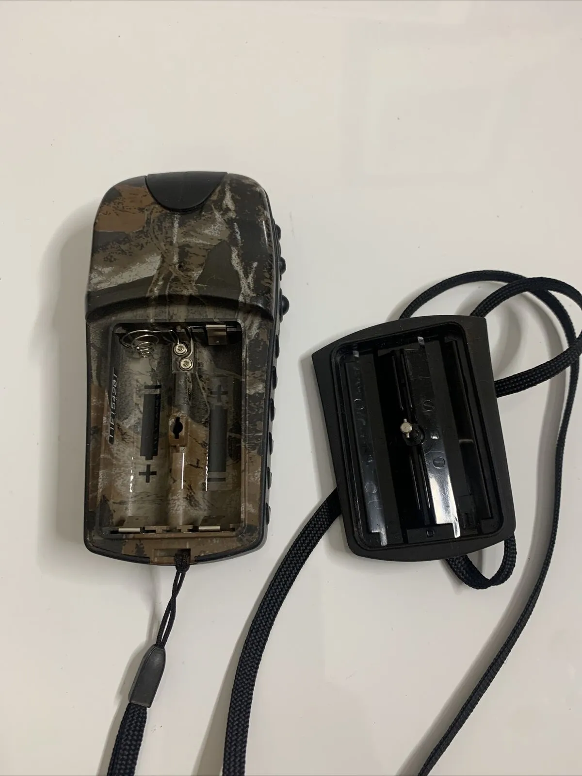
• Waterproofness: Meet rigid IEC 529 IPX7 waterproofness standard (submersible for 30 minutes at a depth of 1 meter) NB: Electronics are protected if immersed, but battery compartment may get wet. Make sure batteries and compartment are dry before using.
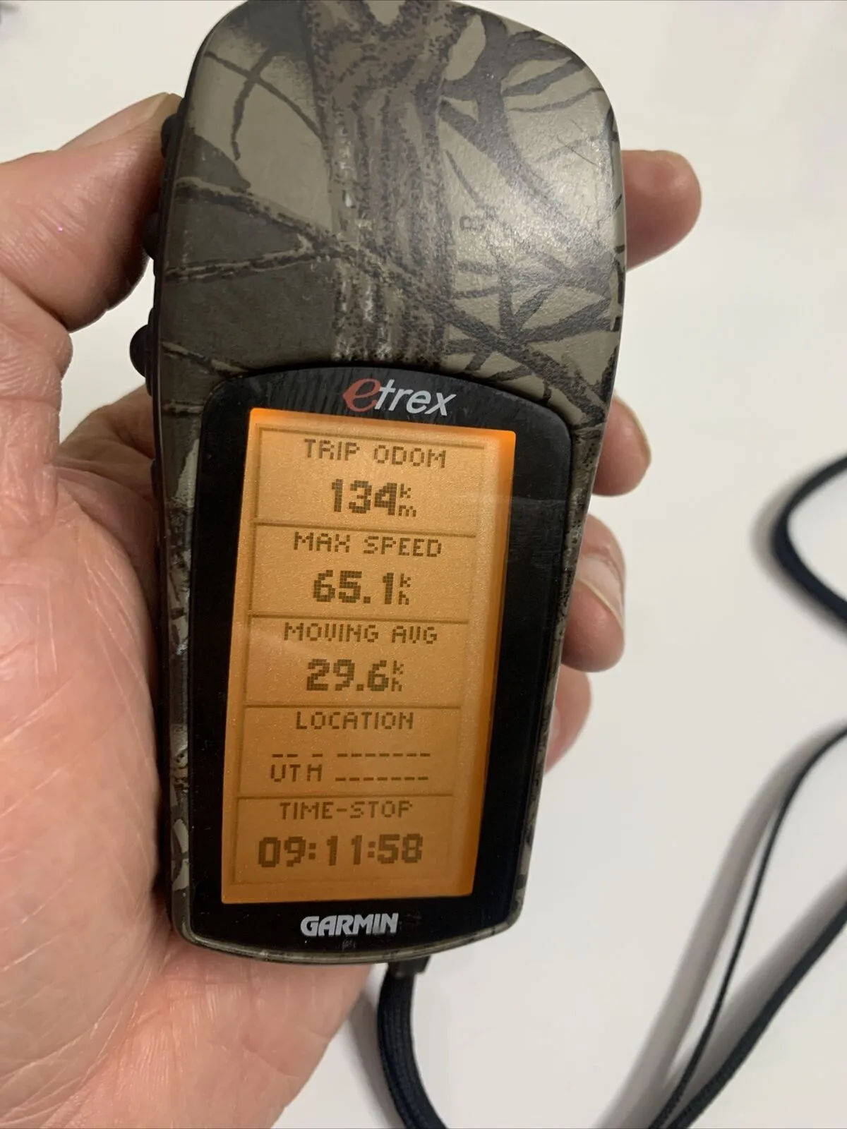
• Trip Computer: Current speed, average speed, maximum speed, direction of movement, bearing, elevation, time of sunrise/sunset, trip timer and trip odometer.
• MapSource Compatibility: Trip and Waypoint Management software on all MapSource CDs can be utilized to transfer waypoints, routes and tracks between PC and the eTrex. You can plan a route on your PC using the map for reference and then transfer it to the eTrex or upload a series of waypoints you have recorded on the eTrex to your PC to archive or edit and reload to the receiver.
• Hunting and Fishing Calculator & Celestial Tables: Will provide recommendations for the best time to hunt and fish at a recorded waypoint location as well as sun and moon calculations.• Waypoints: Stores 500 waypoints with name and graphic symbol
• Tracks: Automatic track log saves up to 10 tracks to retrace your path in either direction• Route: Stores 1 route with up to 50 waypoints which can be navigated in sequence
• Display resolution: 64 x 128 pixels, 3103 pixels per square inch
• Waterproofness: Meet rigid IEC 529 IPX7 waterproofness standard (submersible for 30 minutes at a depth of 1 meter) NB: Electronics are protected if immersed, but battery compartment may get wet. Make sure batteries and compartment are dry before using.
• Trip Computer: Current speed, average speed, maximum speed, direction of movement, bearing, elevation, time of sunrise/sunset, trip timer and trip odometer.
• MapSource Compatibility: Trip and Waypoint Management software on all MapSource CDs can be utilized to transfer waypoints, routes and tracks between PC and the eTrex. You can plan a route on your PC using the map for reference and then transfer it to the eTrex or upload a series of waypoints you have recorded on the eTrex to your PC to archive or edit and reload to the receiver.
• Hunting and Fishing Calculator & Celestial Tables: Will provide recommendations for the best time to hunt and fish at a recorded waypoint location as well as sun and moon calculations.
| DIMENSION | 2.0" x 4.4" x 1.2" (5.1 x 11.2 x 3.0 cm) |
|---|---|
| DISPLAY SIZE | 1.1" x 2.1" (2.8 x 5.4 cm) |
| DISPLAY RESOLUTION | 64 x 128 pixels |
| DISPLAY TYPE | 4 level gray LCD |
| WEIGHT | 5.3 oz (150 g) with batteries |
| WATERPROOF | IPX7 |
| BATTERY TYPE | 2 AA batteries (not included) |
| BATTERY LIFE | 22 hours |
Maps & Memory | |
| WAYPOINTS/FAVORITES/LOCATIONS | 500 |
|---|---|
| NAVIGATION TRACK LOG | 10 saved tracks |
| NAVIGATION ROUTES | 20 |
Outdoor Recreation | |
| HUNT/FISH CALENDAR | Y |
|---|---|
| SUN AND MOON INFORMATION Y | |
Condition
Used
Brand
Garmin
Type
Handheld/Outdoors
Screen Size
2.2"
Display Type
Monochrome
Model
Garmin eTrex
Features
Waterproof
UPC
753759031138
Br199.18.80723.e


